
Sylvania Township ZIP Codes by Parcel
Sylvania Township has a broader postal footprint than a single Sylvania mailing label suggests. Current Lucas County Auditor tax-parcel grouping for the Sylvania Township school-district description identifies six five-digit site ZIPs. These are parcel counts, not population or resident totals. They are useful for understanding where an address search may lead, but an individual property still needs a delivery check and parcel-jurisdiction review. The Township's own Hall uses a 43560 mailing address, while other Township areas can carry Toledo, Berkey, or Holland postal designations.
| ZIP code | Township parcel context | Post-office label | Research note |
|---|---|---|---|
| 43504 | 11 current Sylvania Township tax parcels in the cited grouping, chiefly at the boundary edge. | Berkey | Validate the individual delivery address. |
| 43528 | 45 current Township tax parcels in the cited grouping, chiefly at the boundary edge. | Holland | Small parts can use Sylvania or Berkey labels. |
| 43560 | 6,751 current Township tax parcels in the cited grouping and the principal Sylvania label. | Sylvania | A postal designation does not set the city or Township boundary. |
| 43615 | 2,030 current Township tax parcels in the cited grouping. | Toledo | Toledo label with Township overlap. |
| 43617 | 2,584 current Township tax parcels in the cited grouping. | Toledo | County ZIP map uses Toledo even where a postal alias can reference the Township. |
| 43623 | 1,874 current Township tax parcels in the cited grouping. | Toledo | Confirm the exact address in USPS and AREIS. |
The county's official ZIP map specifically identifies 43560 as Sylvania and 43617 as Toledo. The expanded Township grouping comes from current parcel data, so it should be dated and should never be converted into a count of people. Note: A five-digit postal label is a delivery clue, while the parcel jurisdiction identifies the government geography.
Sylvania Township ZIP Code Geography
One of the key local ZIP code facts is that 43617 is labeled Toledo on the official county map even though it can serve Sylvania Township addresses. The same mismatch appears in 43615 and 43623. This is not an error to fix by changing an address into a preferred city name. Postal operations, city limits, Township boundaries, tax districts, school districts, and court service areas are different systems. For a public-record request, use the agency and parcel jurisdiction that actually hold the record.
The Lucas County ZIP Code GIS layer provides the post-office label layer that supports this local comparison.
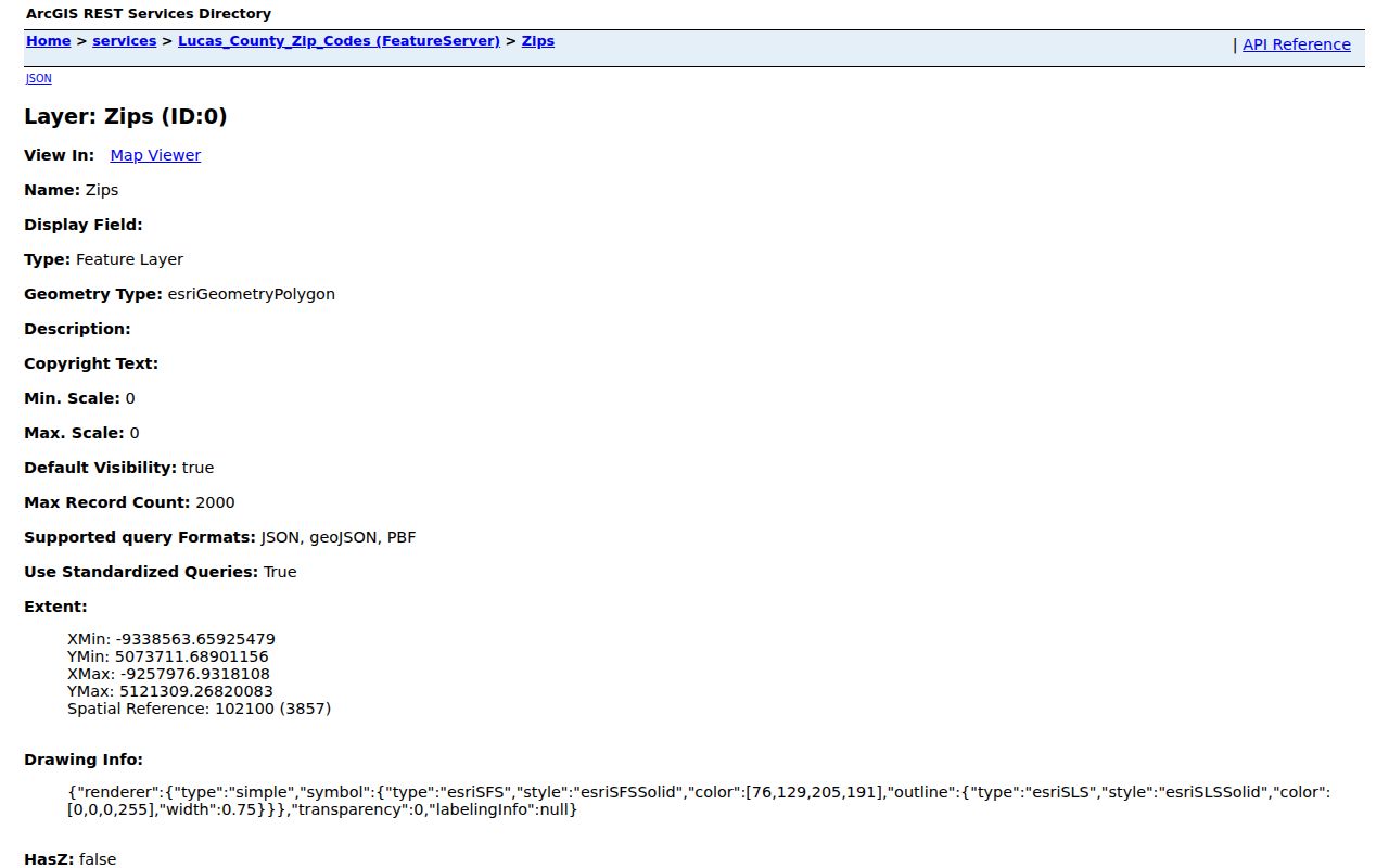
The GIS layer is useful for seeing a postal area, but the AREIS parcel and jurisdiction layers are the confirmation tools for a particular property.
Lucas County records are centered in Toledo even though Township Hall uses the Sylvania 43560 mailing label and the City of Sylvania is a separate government. This geography matters when a reader is deciding whether to contact the Township, City, Auditor, Recorder, Board of Elections, or a library collection. It is a records-routing question, not a claim that any given ZIP belongs to just one local government.
Search Sylvania Township ZIP Code in AREIS
The Lucas County Auditor's AREIS portal expressly documents ZIP Code as an Advanced search criterion. A ZIP-filtered result is a list of parcels meeting the chosen property criteria, not a directory of people who receive mail in that postal area. For Sylvania Township work, pair ZIP Code with Street Name, Municipality, Tax District, or a County Map jurisdiction layer. The portal also has Address, Owner, Parcel Number, Assessor #, County Map, and Multi-Year Search modes, so a property can be checked from more than one starting point.
| AREIS field or mode | Search role | Local ZIP code use |
|---|---|---|
| Advanced | Criteria builder | Add ZIP Code, then combine it with another documented property criterion. |
| ZIP Code | Advanced criterion | Filters property records by the selected five-digit postal value. |
| Street Name | Advanced criterion | Reduces a ZIP-wide property result to a street or segment. |
| Municipality or Tax District | Advanced criterion | Helps distinguish Township geography from a shared postal area. |
| County Map ZIP Code layer | Map layer | Visually compares the postal area with parcels and jurisdiction. |
| Address or Parcel Number | Direct search mode | Checks an exact property after the ZIP has narrowed the question. |
The Auditor guide also documents wildcard searching where spelling is uncertain, sortable results, and multiple criteria in Advanced mode. Save the parcel number and legal description after selecting a result. Those identifiers remain useful when a recorded land document omits the street address or a historical source uses an older subdivision reference.
Find a Sylvania Township ZIP Code Record
Use a ZIP code as a narrowing step, then move to the parcel and record type that answers the actual question. AREIS supplies the property filter and County Map view. The Recorder is keyed to parties, documents, and legal descriptions rather than a demonstrated ZIP filter. Ohio's statewide voter lookup requires first name, last name, and county, not a ZIP field. Township permits are handled as address-file requests rather than a ZIP-search portal. This sequence keeps the search tied to the documented controls of each custodian.
- Check the delivery ZIP for a precise address through USPS, especially where a local line is unclear.
- Run AREIS Advanced search with ZIP Code and a second property criterion such as Street Name, Municipality, or Tax District.
- Open the selected parcel in County Map and compare its Jurisdiction and ZIP Code layers.
- Use the parcel number and legal description for Auditor, Recorder, or Township address-file follow-up.
- When the ZIP result has narrowed to a road, use the Sylvania Township Street Directory for the full address and parcel workflow.
A ZIP filter is helpful for a bounded property question, but it does not authorize an assumption about every current household in that postal area.
Sylvania Township ZIP Code Delivery Checks
Use USPS ZIP Code Lookup to validate the delivery addressing for one property. USPS treats ZIPs as delivery and post-office operations, not as municipal-jurisdiction lines. That distinction is especially useful in Sylvania Township because a Toledo mailing label can still overlap Township land. A postal lookup should resolve how mail is addressed. It does not replace the Auditor's parcel record when the question involves property geography, tax district, or the government office responsible for a file.
The captured USPS ZIP Code Lookup screen is the direct delivery-validation source.
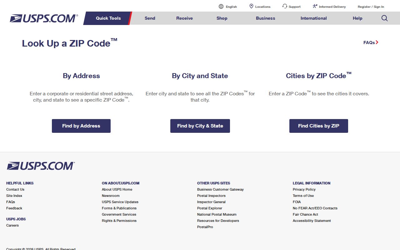
After USPS confirms a delivery ZIP, AREIS can test the address against the parcel, jurisdiction, and other local property layers.
Local boundary tip. The county's official map labels 43617 Toledo, so use a parcel's jurisdiction layer before sending a City or Township records request.
Sylvania Township ZIP Code Map Caution
The Sylvania Schools district map gives a practical local warning for address searches: where ZIP lines cannot be distinguished, users may need to search an address without the ZIP. This is a useful reminder that even an address map can treat postal information differently from its own boundary logic. The school map is not an ownership or resident-record system, but it demonstrates why an exact street address and parcel review are safer than relying on a city name attached to a ZIP.
The district-map page is the source for this local address-search example.
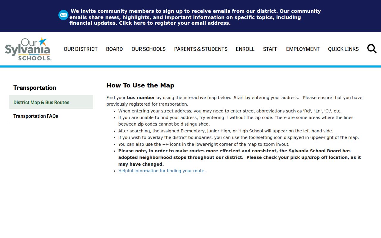
Use this kind of address-specific map as a boundary cue, then verify the property in the Auditor system before seeking any public record.
Sylvania Township ZIP Code Context
Township postal labels sit inside a larger local service geography. The Township community page identifies relationships with the City of Sylvania, City of Toledo, and Lucas County Sanitary Engineer for water and sewer service, as well as local library and historical resources. Those are useful clues when an address question needs the right agency or collection. They do not turn service pages or community organizations into directories of local people.
The Township community page is shown below as a local context source for the different agencies and organizations around Township addresses.
For a record request, identify the address, date span, and agency record sought instead of assuming the ZIP points to one universal local office.
Sylvania Township ZIP Code Address Keys
A ZIP code is only one address expression in local records. AREIS uses the situs address, parcel number, and property data. A tax record can show a different owner mailing address. Recorder documents rely more heavily on the legal description. The distinction prevents a common error: treating a mailing address, a parcel location, and a postal routing label as if they mean the same thing. For historic work, compare the modern parcel description with maps, plats, historic lot lines, and the Library's post-1910 street index.
- Situs address
- The physical location of a parcel or improvement, used by AREIS address search, County Map, and Township address-file work.
- Owner mailing address
- The address used for tax correspondence. It may differ from the physical property location and does not confirm present occupancy.
- Legal description
- The lot, subdivision, or metes-and-bounds identifier used by deeds and plats. It bridges an address to Recorder records.
- ZIP Code
- A postal routing and location label. It is an AREIS criterion and map layer, not a jurisdiction or a resident list.
- ZIP+4
- An added delivery detail used by USPS. It does not replace the five-digit ZIP or the parcel identifier in a public-record search.
- Carrier route
- A postal delivery route grouping. It is not a local-government boundary or a roster of people at addresses.
Note: For a land or tax question, the parcel number and legal description are usually more durable identifiers than the printed postal city name.
Sylvania Township ZIP Code History
Older address research should not assume that today's postal label was used in a historical record. The local reverse-address tool begins with the Toledo Lucas County Public Library's Polk directories, which have alphabetical street and address indexing from 1910 onward. Where an older document gives a different subdivision or street representation, compare that directory listing with historic lot lines, plats, maps, and the Recorder legal description. This method preserves address continuity without inventing a street-renumbering history that the local research did not verify.
For additional historical context, TLCPL holds Polk directories from 1858 to 1935 on microfilm and from 1936 to the present in books. The Library's local history materials also include maps, county-record microfilm, obituaries, and block-card/property-image resources. Use the selected directory year as dated evidence and confirm the actual volume's coverage before drawing a conclusion about a Township property.
Sylvania Township ZIP Code Boundaries and Limits
The boundaries in a ZIP code directory do not match Sylvania Township or City of Sylvania limits in a one-to-one way. A Sylvania Township property may use a Toledo postal label, and a ZIP may include land outside the Township. The property portal's ZIP filter returns matching parcels, not a complete people directory. Recorder records are not documented as ZIP-searchable, and the statewide voter lookup has no captured ZIP field. The right next step is the parcel, jurisdiction, legal description, or a named-person verification route, depending on the question.
Public records also have limits. Protected voter records, Safe at Home addresses, sealed files, and legally redacted personal information must remain protected. A missing address result does not prove someone is absent, nor does it justify trying to defeat a confidentiality protection. Ask a custodian for an existing, specific record and verify a potentially wrong result with that office. The Ohio Public Records Act provides access to government records subject to its exemptions, not a demand for an agency to create a ZIP-wide people list.