
Search a Sylvania Township Street
For a Sylvania Township street search, begin with the full address in the Lucas County Auditor's AREIS system. If a precise number does not match, search the street name or use the County Map with a nearby intersection to find the parcel. The returned parcel is the common link between the physical address, the tax record, the transfer screen, and the legal description used in recorded documents. It is a stronger starting point than a postal label or a name alone.
The result can establish a property connection, but it cannot establish a full household. AREIS reports the owner of record and property context. A voter lookup is designed for a named registrant's registration and precinct check, rather than a broad address browse. For a historical address, the Toledo Lucas County Public Library's Polk volumes are a separate, dated source. Their street index begins in 1910, so it can show the person or business listed at an address in the selected directory year.
- Enter the address in AREIS, or use a street name, nearest intersection, or County Map when the number is uncertain.
- Save the parcel number, situs address, current owner of record, and shortened legal description shown in the property result.
- Use the County Map to inspect the selected parcel, nearby parcels, street lines, ZIP layer, and jurisdiction layer.
- Open the transfer history, then search Recorder Public Access by the recorded party, date, instrument details, and matching legal description.
- For an older address question, consult the Polk street index and compare the directory year with maps, obituaries, or a historical census schedule.
Note: Record the search date and the exact address form because a suffix, direction, unit, or postal label can change the match.
Sylvania Township Street Directory in AREIS
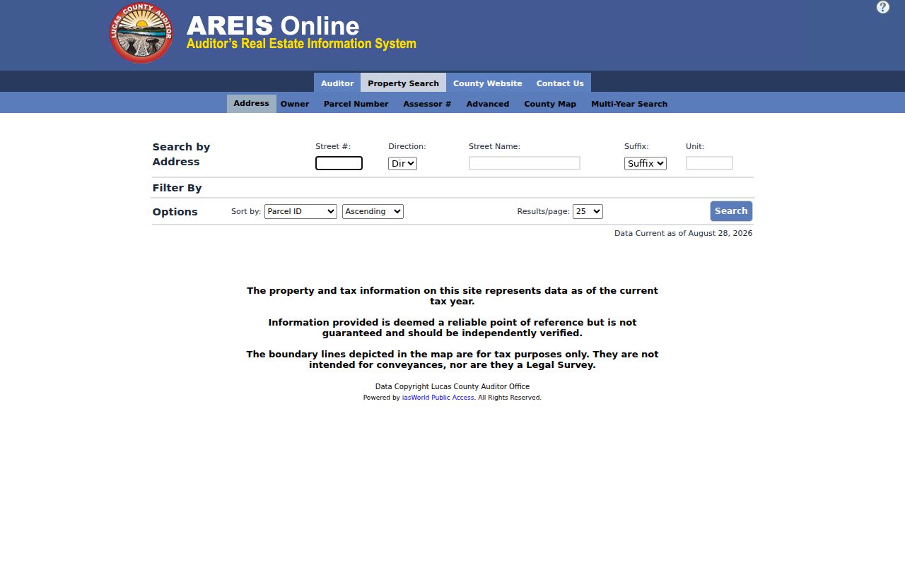
Lucas County Auditor AREIS is the primary address-led tool for the Sylvania Township street directory. Its public modes include Address, Owner, Parcel Number, Assessor #, Advanced, County Map, and Multi-Year Search. In Address mode, the form separates Street #, Direction, Street Name, Suffix, and Unit. That separation matters when a property has a directional street name or an apartment/unit detail. The portal was inspected during maintenance, but its documented controls and official guide remain a reliable description of the search path.
The official guide recommends using the wildcard character sparingly when spelling is uncertain. Advanced search can combine a street name with other property criteria, so it is useful for a bounded street segment rather than an unfiltered countywide result. It also supports active and deactivated property data through Multi-Year Search. An owner name or mailing address is still a tax-record clue, not proof that a person currently lives at the situs address.
| AREIS control | Type | Use for an address search |
|---|---|---|
| Address | Search mode | Enter Street #, Direction, Street Name, Suffix, and optional Unit. |
| Advanced | Criteria builder | Add Street Name, Municipality, Tax District, ZIP Code, or other documented property criteria. |
| County Map | Map mode | Find a parcel by address, parcel number, or nearest intersection. |
| Owner | Name mode | Search the legal deed owner name, with documented wildcard use for an uncertain name form. |
| Multi-Year Search | Search mode | Review active and deactivated property data over multiple tax years. |
The AREIS address search is shown in the captured portal image below. The separate address components are useful when a copied address has an incorrect direction, suffix, or unit.
Use the resulting parcel number and legal description as the durable bridge to the map, transfer record, Recorder index, and an address-specific Township request.
Read a Sylvania Township Street Segment
The Lucas County GIS map and data hub leads back to the AREIS County Map. Search by parcel number, address, or nearest intersection, then select the parcel. The documented map tools include distance estimates, multiple-parcel selection, and printable or downloadable imagery. Available layers include Parcel Number, Street Lines, ZIP Codes, Jurisdiction, School District, Market Area, Flood Plane, Wetlands, Historic Lot Lines, and Vacant Lots. Those layers help separate a street question from a city or postal-label assumption.
For a short street segment, select each parcel individually and keep each result separate. Adjacent lots may have different owners, legal descriptions, transfer timing, or mailing details. The County Map is a strong visual research tool, not a survey or legal description. The County's disclaimer says its map data are reference and tax information and carry no warranty for a boundary or title dispute.
The county GIS maps page is the source for this captured view of local map and data access.
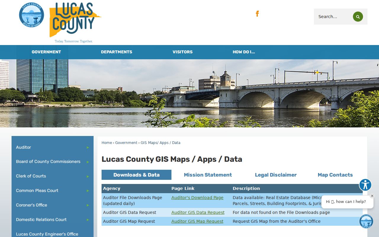
Map mode gives an address search its geographic context, especially where a street crosses a ZIP or municipal boundary.
The Lucas County tax-parcel GIS layer is also a public reference source for parcel geography and Township tax-district work.
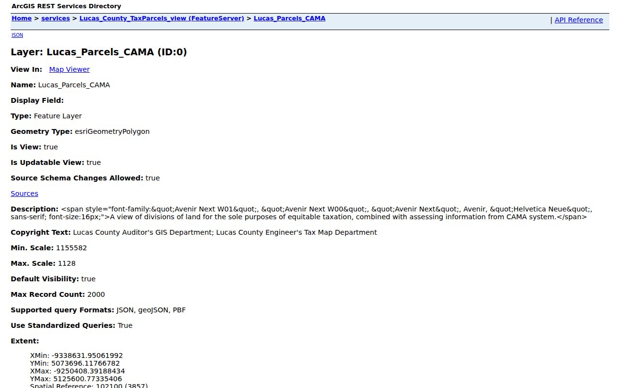
The parcel layer can support a map comparison, but it does not supply a complete resident list for the houses along a street.
Sylvania Township Address Record Types
A Sylvania Township street directory question often moves across several custodians. AREIS provides property and tax context. The Recorder holds permanent archival land documents. Township Planning and Zoning may have an address-specific file about a permit, zoning matter, or complaint. The library's Polk volumes can associate an address with a listed person or business in a historical year. Each source answers a narrower question than a household roll, so compare dates and identifiers before drawing a conclusion.
| Address-keyed record | Custodian | What it can show | Access route |
|---|---|---|---|
| Property and tax record | Lucas County Auditor | Parcel, owner of record, situs, tax-year data, property outputs, and transfer context. | Free AREIS portal, Auditor counter, or 419-213-4406. |
| County Map | Auditor and GIS staff | Parcels, streets, ZIP and jurisdiction layers, historic lots, and map placement. | AREIS County Map or a GIS map/data request. |
| Recorded land instruments | Lucas County Recorder | Deeds, mortgages, liens, plats, land contracts, and certificate-of-transfer records. | Public Access, counter, phone, email, fax, or copy order. |
| Township zoning file | Sylvania Township Planning and Zoning | Address-specific permit, application, plan, complaint, or zoning-process material. | Ask Zoning for the address, date span, and copy cost. |
| Polk street directory | TLCPL Local History and Genealogy | Listed person or business at an address for a selected post-1910 directory year. | Main Library Local History access and staff assistance. |
Ohio's named voter tools are different. The state lookup requires a first name, last name, and county to check a person's registration, while the County Board should answer correction or full-record questions. A public match is not a street-by-street household census. When a question shifts to one named person rather than an address chain, the Sylvania Township resident lookup has that verification-focused path.
Sylvania Township Parcel Clues Explained
Property records use several address-related terms that are easy to confuse. AREIS can display a property record card, tax bill, property attributes export, Lucas Composite, map resources, and transfer information. It can also report seller, buyer, transfer date, sale price, and deed type. The output can confirm that a parcel was transferred, but a transfer result is not a certified title determination and an owner-occupied tax treatment is not a statement about every person at the location.
- Parcel number
- The county tax and assessment identifier for a specific property. It ties AREIS, the property card, and County Map work together.
- Situs address
- The physical location of the parcel or improvement. It can differ from the owner's mailing address.
- Legal description
- The lot, subdivision, or metes-and-bounds identifier used in deeds and plats. It is often the best bridge when an instrument omits a street address.
- Plat
- A recorded map that identifies a subdivision or lot layout. Compare it with the legal description rather than relying on the street label alone.
- Criss-cross directory
- An address or street index that works in reverse, from a location to a listed person or business for a particular directory year.
Historic lot-line layers can be especially useful when an older directory, subdivision reference, and current address do not line up neatly. Match the lot and legal description before treating a similar street name as the same property. Note: Map boundaries help locate a parcel but do not resolve a legal boundary or title conflict.
Trace Sylvania Township Street Transfers
After AREIS identifies a parcel, move to the Lucas County Recorder for the recorded document trail. Start with the current buyer or grantee, the transfer date, deed type, and the matching legal description. In the next step, the prior seller or grantor becomes the person to search as a likely earlier grantee. Repeat only where the legal description or lot matches. A common name or a nearby parcel can otherwise create a false chain.
Recorder Public Access provides Name, Advanced, and Instrument search modes without an account requirement for a guest session, although an account can save search criteria. Its recorded documents may use a legal description instead of a street address, so the shortened legal description from AREIS is central. The Recorder has not published a single online start year on the inspected office page. For an older or unreadable item, use the counter, 419-213-4400, Recorder@co.lucas.oh.us, fax, or a copy-order request instead of assuming the web index is complete.
The Recorder's AlertMe service is shown here. It provides voluntary future name monitoring for newly recorded documents after enrollment, not a historical backfill or proof of fraud.
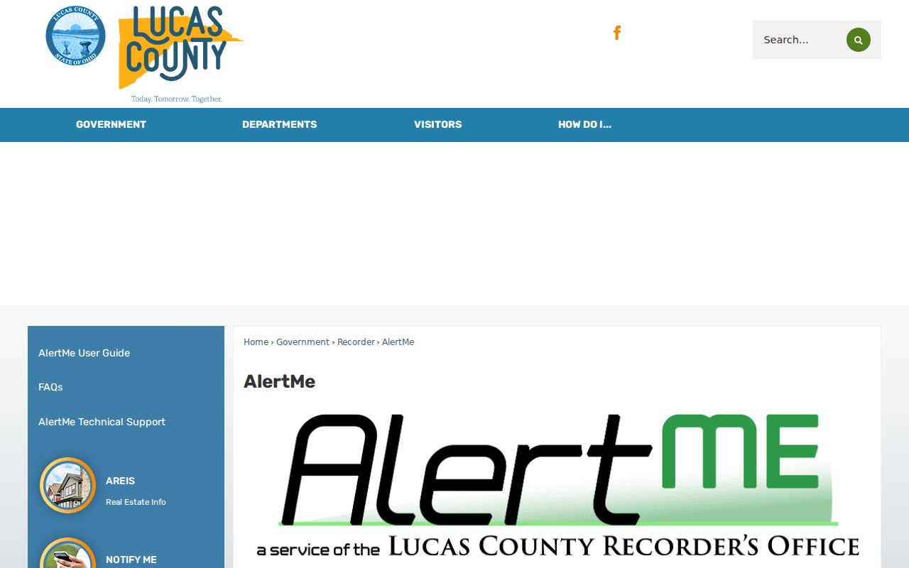
Use an AlertMe notice as a prompt to inspect the actual recorded instrument and compare its legal description with the parcel record.
Sylvania Township Permit Files by Address
Sylvania Township Planning and Zoning is the local address-file route for construction and zoning-process material. Its public permit page covers work such as additions, remodeling, pools, ponds, accessory structures, signage, project-plan review, variances, exceptions, use changes, and zone changes. A well or septic project requires written Toledo-Lucas County Health Department approval before a zoning permit. The resulting file may contain a location, work type, application details, plans, and dates, subject to the applicable records and retention rules.
No official online search was found for individual Township permit results. Contact Zoning at 419-885-5276 with the street address, parcel if known, the time period, and the particular record sought. The office is listed as open Monday, Wednesday, and Thursday from 8:00 to 4:30 and closed Tuesday and Friday. This is a targeted request channel, not a directory of occupants.
The Township permit page is the source for this visual overview of its forms and permit categories.
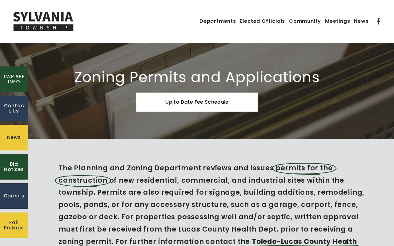
Using the page's own project terms can help staff identify the correct address file without an overbroad request.
The Township zoning page links its zoning map, complaint form, resolution material, and office contact details.
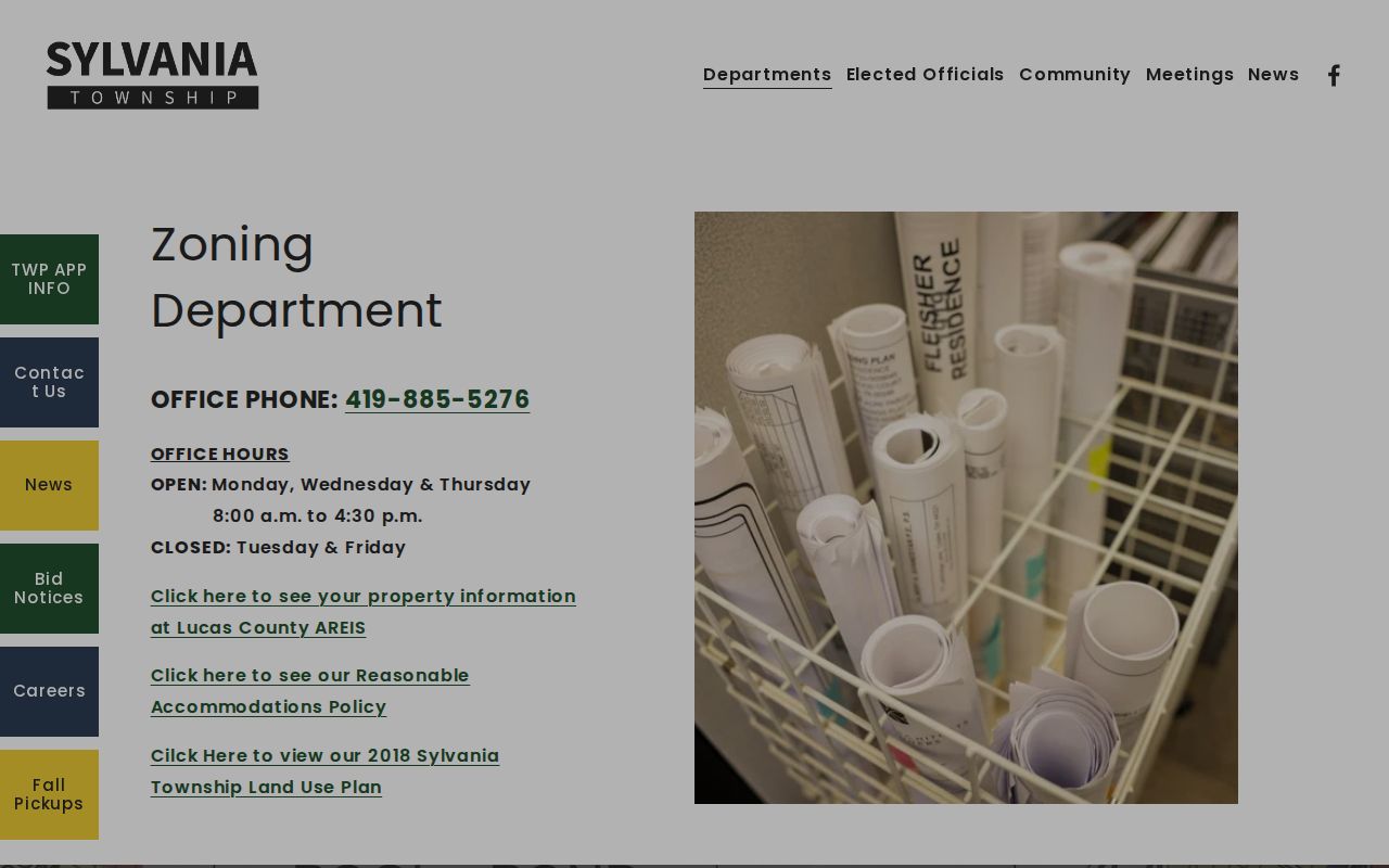
A Township zoning complaint form itself warns that supplied information may be a public record, so optional contact details are not a promise of confidentiality.
Sylvania Township Street Directory History
The strongest local historical street tool is the Toledo Lucas County Public Library's Polk series. Its house and building research guide records Polk's Toledo directories from 1858 through 1935 on microfilm and from 1936 to the present in books. Beginning in 1910, the series indexes streets and addresses alphabetically. That dated reverse-index feature can connect a known address to the person or business listed in a selected year, while the alphabetical portion can follow that name to another listing.
Use the precise volume, page, address number, and abbreviation key. A directory entry is a time-specific listing, not title proof or a modern residence conclusion. The Library's Local History and Genealogy Department at Main Library offers appointments, phone assistance at 419-259-5233, microfilm, maps, obituaries, county records, and staff help when an issue is not available online. The Sylvania Township Directory Book details the collection and how to trace a household through its volumes.
Early records need additional care. Sylvania Township and the separate City of Sylvania are distinct, and the area passed through early jurisdictional changes before Lucas County was established in 1836. Compare a historic street reference with a legal description, plat, historic lot lines, and the directory's own coverage before assigning it to a current parcel.
Sylvania Township Street and Postal Labels
A Sylvania Township address can carry a Sylvania or Toledo postal label. The Township identifies 43560, 43615, 43617, and 43623 in local postal-footprint material, while the Auditor's current tax-parcel grouping also includes small boundary-edge sets coded 43504 and 43528. Postal designations guide mail delivery, not Township jurisdiction, tax district, court territory, or the agency that keeps a file. The County ZIP map labels 43560 as Sylvania and 43617 as Toledo, even though both can matter to a Township search.
For a street directory result, verify the address through AREIS parcel and jurisdiction details before contacting the Township or the City of Sylvania. Where an older source has only cross streets, County Map's nearest-intersection search can locate the area before the parcel search begins. When the question starts with a postal area instead of a road, use the ZIP-specific map and property workflow before narrowing it to a street.
Limits of a Sylvania Township Street Search
Address records have clear limits. AREIS can show the owner of record, a mailing address, property data, and transfer context, but it does not list every person at the property. A Recorder instrument identifies the parties to that document, not all people at an address. Township zoning material can concern a project or complaint, not an address roster. The Ohio voter tools are designed around a named person and county, and protected voter records remain protected. A missing result is not a reason to infer that someone has moved or to seek protected information through another route.
Ohio's Safe at Home program protects qualifying participants' address information. The Ohio Public Records Act also contains exemptions, and online copies must protect specified identity and financial information. Ohio motor-vehicle records are not an alternate street-search source. If a public record appears mistaken, contact the office that owns it and keep a note of the exact search and result date. For a narrow request, ask the custodian for an existing record by address, parcel, date, or document rather than asking for unlimited personal information.
Lawful use. Use Sylvania Township address records for lawful personal, family-history, property, or civic research. Ohio law protects confidential addresses, and stalking, harassment, threats, or harm are prohibited.